

Can you just camp anywhere? Free Camping Permitted for Wild Camping
If you want to know how to plan a wild camping trip, then this post will guide you to finding an area in your backcountry to explore.
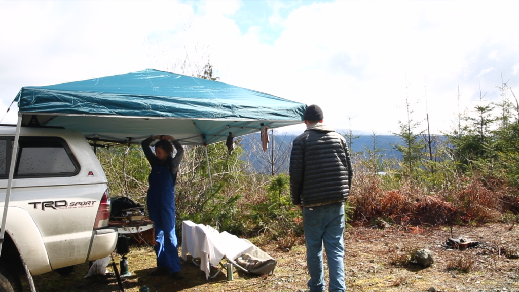
We spent 2 weeks wild camping on the coast of British Columbia in the Pacific Northwest, and this is how we fared.
There is so much to cover from planning for potential spots, gear, food, etc. Stay tuned for upcoming posts where I’ll cover some of these topics. This post won’t cover the dangers and gear you need for this sort of bush whacking wild camping, but I’ll cover that in another post.
What is Wild Camping
Wild camping is camping near most anywhere public or in the back country while taking careful consideration to stay off private property. Some choose to wild camp through countries where accommodation may be costly like Tom who is exploring the world on his bicycle, others wild camp the backcountry of forestry service roads and beautiful nature scapes.
Where to Camp
Find a spot to wild camp is not as simple as showing up. It’s best to give foresight to the area and terrain before arriving.
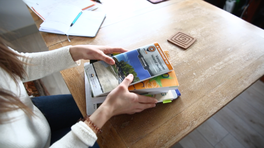
For most of our wild camp trips, we decide on an area to explore and consult the maps.

Cannot Camp Anywhere
You should know that you cannot simple wild camp anywhere. You may not wild camp in national parks, military bases or on private property.
Start with Maps
To know where you can camp, you must have some direction. To gain this information, I look at maps and familiarize myself with the area. I look at 3 maps while planning:
- A giant wall map
- A local map book (with a top notch map key to outline areas like national parks or native lands)
- Google maps on the Internet

How to Find Crown Land
Finding crown land can be tricky, but ideally you want to find a map with a key that shows what is private and what is public.
There are also some online resources and maps, but I haven’t found one that works super well yet. They are either slow to load or just don’t give me the information that I am looking for.
Generally, most large open areas with forest service roads are on crown land. This is generally areas where future development will take place.
Once I find such an area in the map book, I google the area on Google Maps.
Satellite View
In Google Maps, you can change the layer to a satellite view, which then shows you residential areas, water and forest. Plus, it will outline the terrain and map out roads and forest service roads.

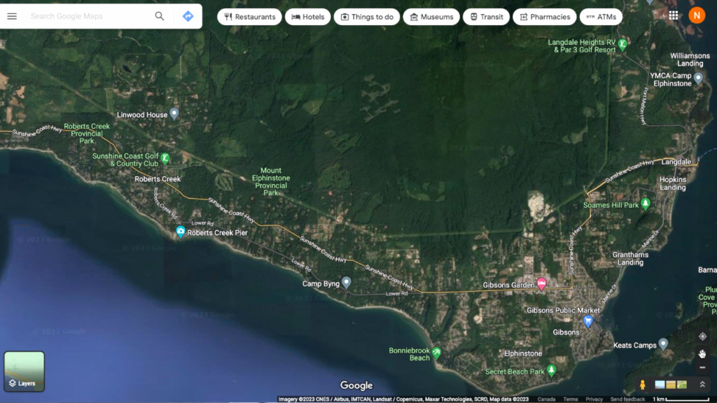
What I’m looking for on Google Maps is forest service roads and the terrain (slopes, lakes, etc.) around the roads. This is how I determine where we can wild camp overnight or for a few days.
For example, start here:
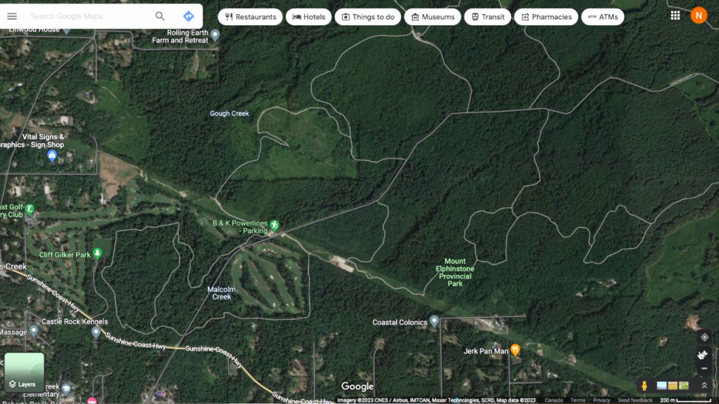
Then zoom in:
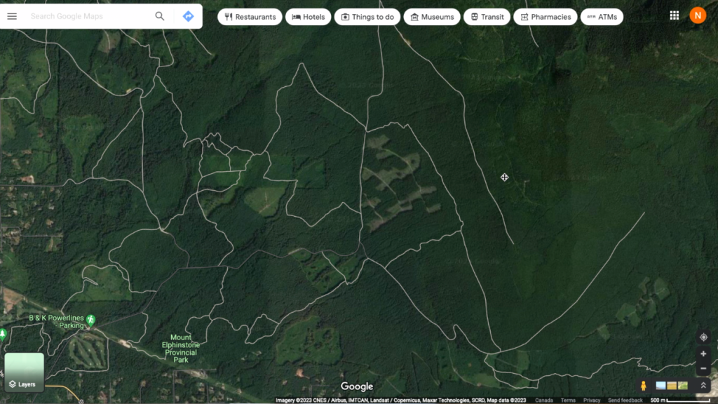
And zoom in even more:

Forest Service Roads
The satellite view on Google Maps won’t show me exactly what the area looks like (that will remain a surprise until we get there). I also cannot plan an exact spot to camp.
However, it is our experience that there is always a spot to pull over along the forest service road. Or, we can usually find another smaller forest service road that branches off from the main road, on which we can find a pull over or sleep at the dead end.
Once I have a good scope of the forest service roads in an area, then I can start to plan our trip.
I never know exactly where we will sleep, but I know that an area has a main forest service road and a few others branching off. This lets me know that there is some possibility that we can find a place to stay.
Worst case scenario, if we don’t find a place before sundown we will just pull over and sleep on the side of the forest service road.
More camping posts
Find our simple Camping Essentials Checklist here, or our MASTER Camping Packing List here. We wrote about our favourite Easy Camping Breakfast: Eggs And Leftovers here and how to eat Good Healthy Camping Food while in the wild.
Stay tuned for more upcoming posts!
Blessings,
NK


